
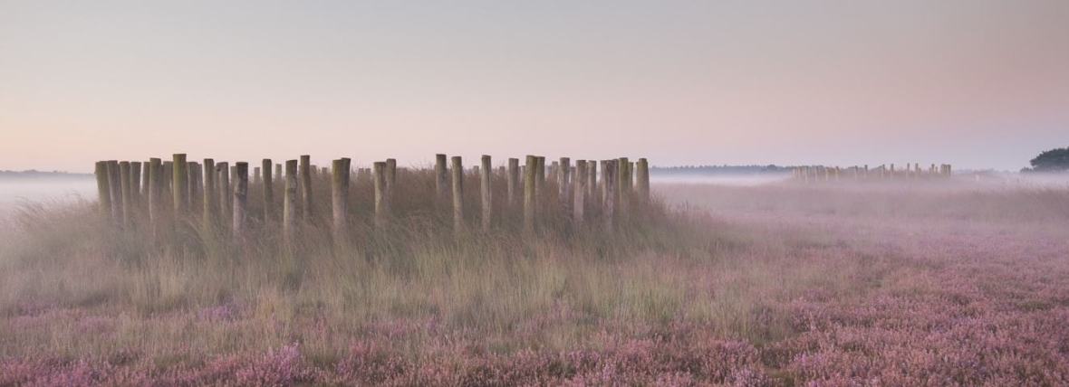
Prehistoric Veluwe more densely populated than previously thought
Within the space of a few months, the Heritage Quest citizen science project, whereby volunteers scan elevation maps of the Veluwe area for burial mounds and other prehistoric remains, has already led to groundbreaking new insights. Hundreds of burial mounds have been found, as have a huge number of prehistoric fields. These findings suggest how densely populated the Veluwe must have been.
Tens of thousands of people
Leiden archaeologist Quentin Bourgeois is leading the Heritage Quest project, which is in collaboration with the Gelderland Heritage Foundation and has funding from the Province of Gelderland. He is enthusiastic about the initial results: ‘We have now analysed the data from the first two months, and the results are spectacular.’ As well as hundreds of new burial mounds, the volunteers have found over 10 km2 of Celtic Fields (Iron Age field systems). ‘The Celtic Fields alone would have fed tens of thousands of people.’
Elevation maps
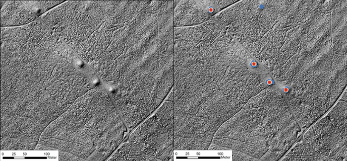
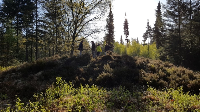
The finds were all made with the help of volunteers, who are given small pieces of Veluwe to scan for prehistoric remains. They are looking at tens of thousands of elevation maps measuring 300m x 300m from the comfort of their own homes. Each image is scanned and classified by 15 people. At a later stage, volunteers will help look at all these classifications in the field because identification can be tricky. ‘On the elevation maps, a hay bale, for instance, looks very similar to a burial mound,’ Bourgeois explains. ‘That’s why we get several people to look at the same images and why we still need to check some classifications in the field.’ The project team will be organising expeditions in the autumn.
The volunteers have been doing fantastic work. ‘It’s going much faster than expected. The volunteers have looked at over 228,000 images since May already.’ And the results are spectacular. ‘We can also see that if around six people can see a burial mound on the same image, they are almost invariably right.’
LiDAR
It has been known for some time that there are a lot of burial mounds in the Veluwe, but Heritage Quest looks set to double the number of known mounds. The aerial photos on which the project relies were only taken recently, with the aid of LiDAR imaging: Light Detection and Ranging. ‘LiDAR are laser beams that measure the distance to the ground from small planes or helicopters. The beams measure through vegetation, so you get to “see” what’s under the trees.’ This makes the images eminently suitable for discerning the slight elevation differences caused by burial mounds and the ridges that mark the boundaries of Celtic Fields.
Join in!
The project will run until all of the elevation maps have been examined, so there’s still time to join in. Register on the Heritage Quest website.