
Research project
Markets and ports in perspective
A comparative study on the spatial origin and development of towns in the northern Netherlands, 700-1400.
- Duration
- 2014 - 2019
- Contact
- Marcel IJsselstijn
- Funding
-
 NWO/ARCHON Graduate Programme
Short abstract
This PhD-research investigates the spatial implications of the economic historians' emphasis on markets and ports as crucial elements in the remarkable medieval urbanization of the Low Countries.
Research question
To what extent were markets and ports decisive for the spatial origin and development of towns in the northern Netherlands, how does this relate to other explanatory factors, such as landscape, infrastructure, and other functions (religious, military and political), and who were the actors involved?
Project description
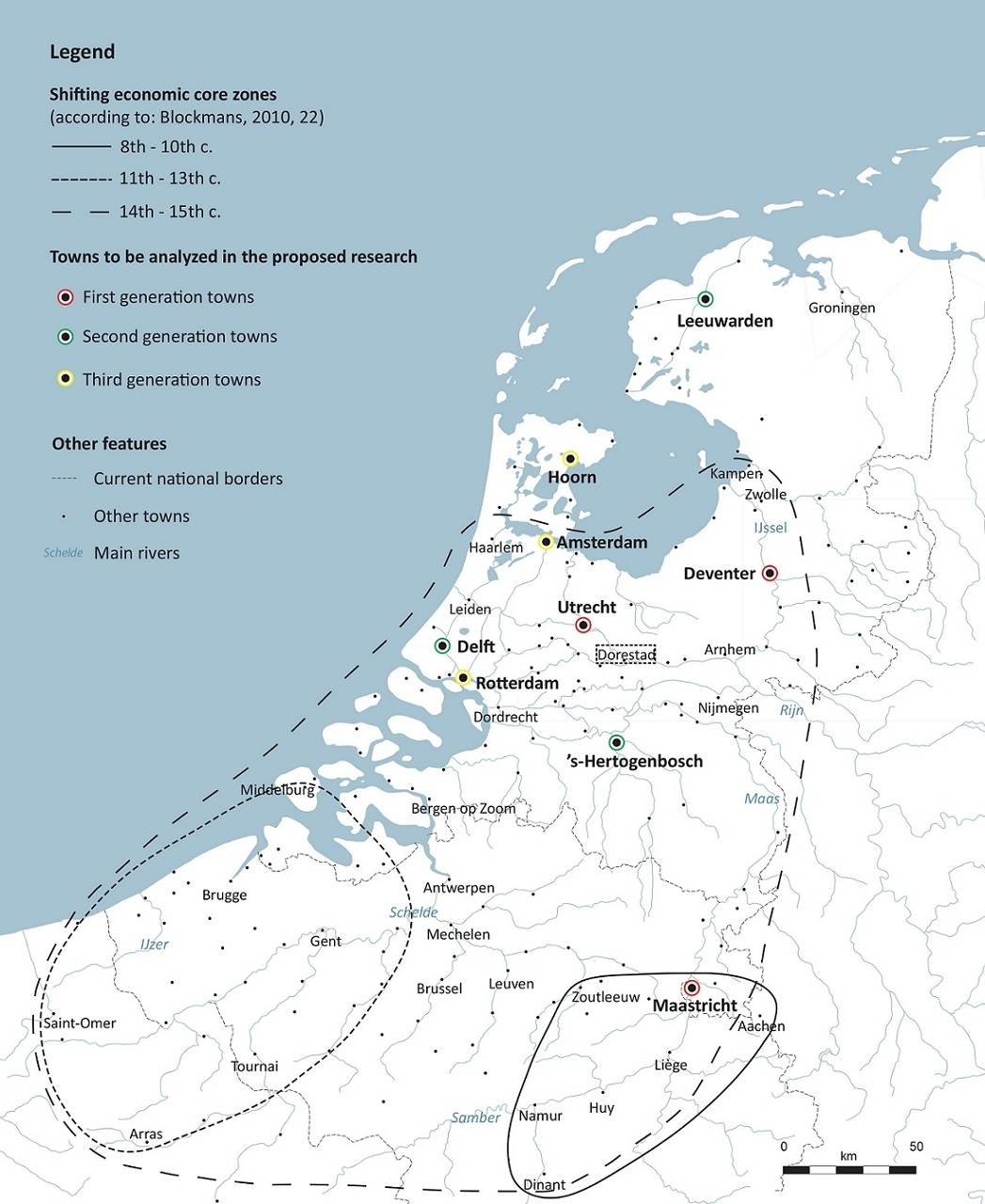
In the European context, the medieval urbanization of the Low Countries is special. From a peripheral fringe zone, the area developed into Europe’s most urbanized region at the end of the Middle Ages. Recent historical syntheses demonstrate the significant character of the urbanization. Driven by strong interregional dynamic forces, the economic core shifted several times from one group of towns to another. Moreover, historians argue that towns in the Low Countries emerged and flourished mainly as a result of their economic core functions: either as a port in long-distance trading networks, or as a regional market, or both.
However, these historical syntheses pay little attention to important morphological questions regarding the spatial lay-out of towns. It is far from clear how towns came about and took shape over the long term of the Middle Ages. That’s remarkable, because the medieval urban genesis and development was determinative for the present-day spatial distribution of towns across the landscape, as well as for the main infrastructure of today’s urban cores. Spatially oriented research, like practiced in archaeology and historical geography, needs to fill this gap.
Relevance
Conducting the proposed research will provide new insights on the relationship between history and space in an important part of today’s cultural heritage: historical urban cores. By looking at the role of markets and ports in a broader morphological context, it will become clear by which factors – and in which interplay - towns were shaped in the Low Countries during the Middle Ages. It will also become clear how long-term developments, like the shift from manorial to commercial exchange and the emergence of urban institutions at the expense of more established institutions of power (like kings and bishops), manifested itself spatially in medieval townscapes.
Aim
Starting from the historical debate on the importance of markets and ports in the medieval urbanization of the Low Countries, the proposed research aims to reconstruct the influence of markets and ports on the spatial origin and development of medieval towns, the relationship with other explanatory factors of landscape, infrastructure, and other functions (religious, military, political), and the actors involved in these processes.
Methods and materials
By using the method of plan-analysis from the geographical sub discipline of urban morphology, the spatial development of nine towns across the Low Countries over the long term of the Middle Ages is visualized in a Geographical Information System (GIS). This GIS-based plan analysis method is innovative for its integration of historical, archaeological and geomorphological information on the spatial development of medieval towns. It allows to compare the nine towns among each other in an accurate, uniformed way that hasn’t been used before in the Low Countries.
The use of archaeological sources is essential. In particular for the early Middle Ages, historical sources are scarce while archaeological sources are abundant. Besides, archaeological sources have not been used much for syntheses and comparisons between towns. Because of its specific methodology, the proposed research will be able to valorise archaeological data in relationship with other types of sources (historical and geomorphological) on the spatial lay-out of towns.
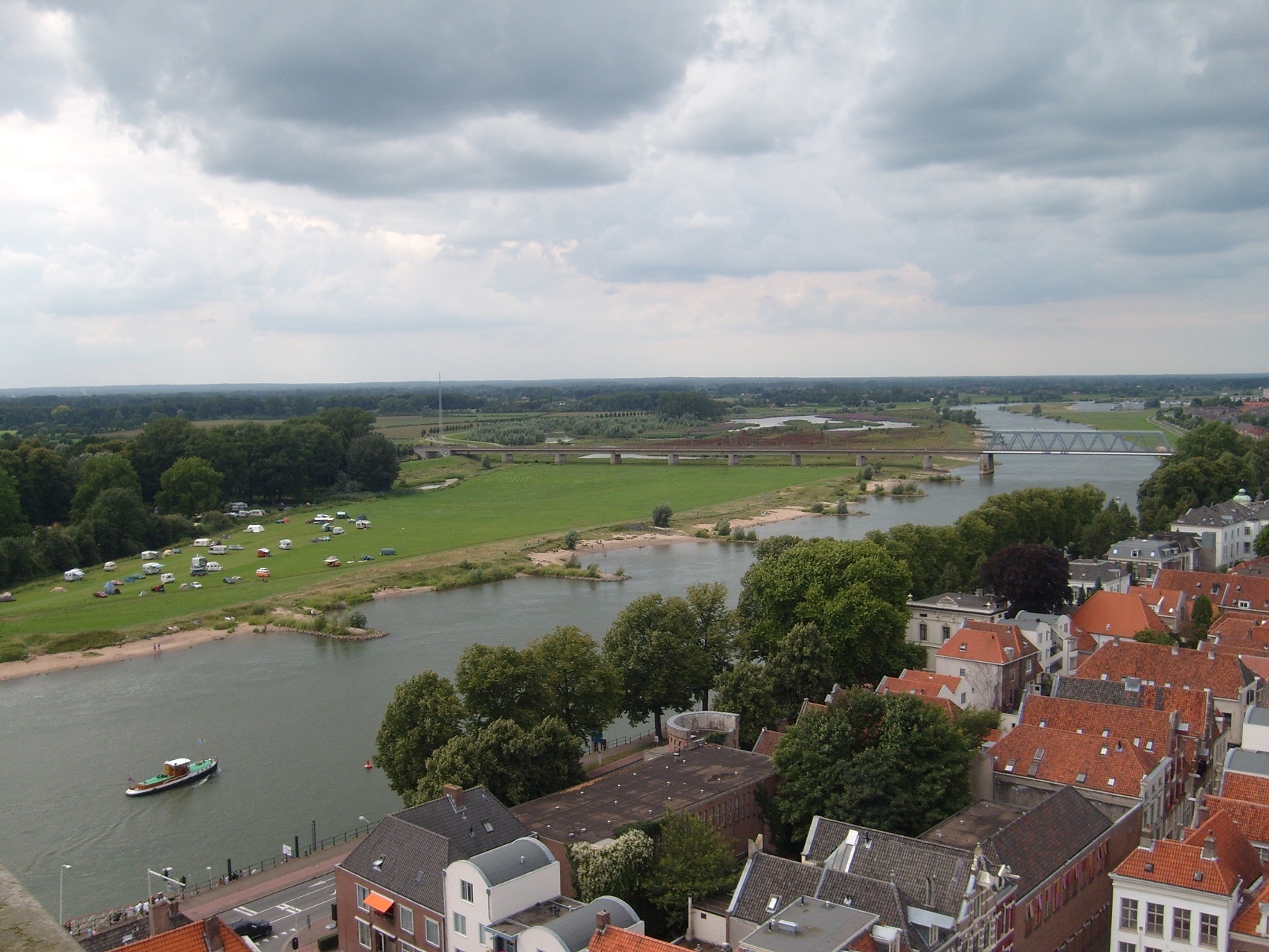
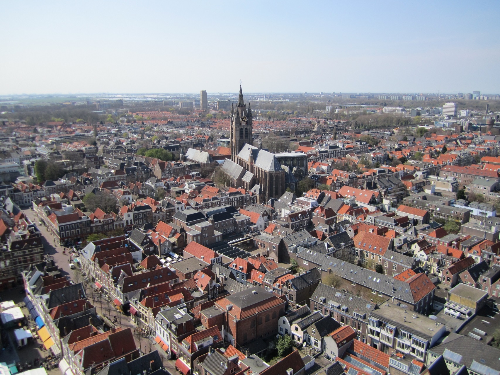
The nine towns under investigation are Utrecht, Deventer, Maastricht, ’s-Hertogenbosch, Delft, Leeuwarden, Rotterdam, Amsterdam and Hoorn. These towns are selected because they represent different periods of urbanization, for their geographical distribution across the landscape, and the supposed availability of archaeological and historical sources.