
Research project
Placing Changes
What does site patterning reveal about the social landscape dynamics across the historical divide?
- Duration
- 2013 - 2016
- Funding
-
 HERA Joint Research Programme
Short abstract
A study of changes in settlement patterning dynamics across the historical divide using Geographical Information Systems combined with (ethno)historical and archaeological data
Project description
The main aim for this research to analyse settlement patterning in the Lesser Antilles in which characteristics, continuity, and changes in site locations are investigated in the cultural and social context of the islands. The impact of early colonization on settlement patterning on these ecologically and culturally diverse islands is the focal point of analyses, placing the ‘Island Carib strongholds’ at the centre of this study. Equally important aims are the construction of a geo-referenced database and of a predictive model using geographical information systems (GIS).
The main research question “ What does site patterning reveal about the social landscape dynamics across the historical divide?” will be answered by addressing the sub-questions on the archaeological, cultural, physical, spatial and temporal setting of the sites. The characterization of Amerindian settlement patterns will constitute the base for this study, and enables analyses of how these patterns relate to the various ceramic cultures on the islands. The diachronic approach allows for the analysis of changes in settlement patterning through time.
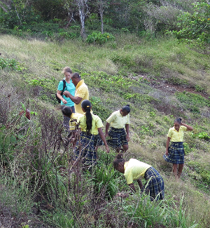
Archaeological landscapes in the Late Ceramic Age and Early Colonial period are investigated by GIS analyses on the islands of St. Kitts, Guadeloupe, Dominica, Martinique, St. Lucia, St. Vincent, and Grenada. Cultural and physical landscapes on these islands are reconstructed using ethnohistoric and archaeological data, present day maps and GPS data collected during fieldwork, mainly consisting of surveys. This fieldwork will take place on St. Kitts, Dominica, St. Vincent, and Grenada. All data will be incorporated in a geo-referenced database, culminating into a firm base for the construction of a predictive model. Both the database and the predictive model will serve as tools for heritage management. These tools can be used by local agencies in their efforts to ensure the protection and endurance of local heritage.