
Book
Profile 6. Developing a parcel based historical GIS of the Netherlands
Historical geo data are gaining in importance. Provided that they are exactly geo referenced, they can be stored into a GIS and thus be combined with all kinds of maps (topographical, pedological, etc.) and datasets. This makes it possible to analyze historical developments in space and time on a detailed local level. A useful project in this field is the construction of the so-called HISGIS for the Netherlands, which has the digitized and vectorized Napoleonic cadastre (1812-1832) as its basic layer. I am working on this at the Fryske Akademy, together with Johan Feikens. A current project, subsidized by the KNAW and undertaken in cooperation with NIDI and DANS, is the realization of HISGIS Amsterdam (1832/1851).
- Author
- Hans Mol
- Date
- 29 April 2015
Key publications
J.A. Mol,
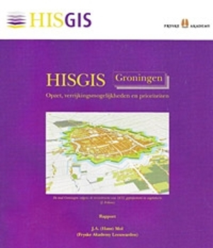
HISGIS Groningen.
Opzet, verrijkingsmogelijkheden en prioriteiten(Leeuwarden 2010), 35 pp.
J.A. Mol and P. Ekamper, ‘De kadastrale kapstok: HISGIS Fryslân als model voor een Nederlands basissysteem’, in: O. Boonstra en A. Schuurman (red.),
Tijd en ruimte: nieuwe toepassingen van GIS in de alfawetenschappen (Utrecht 2009) 198-209.
J.A. Mol, J. Feikens, S. Strating e.a. (2005-2012),
www.hisgis.nl: internet version of a Historical GIS for Fryslân, Groningen, Noord-Drenthe, Overijssel and Utrecht, containing the digitized and vectorized cadastre of 1832 and enriched with historical, demographical, topographical and onomastic layers and datasets.