
Research project
Landscape change, community wellbeing and small island contexts
How has landscape and land use changed in these two case studies since independence? What has caused these changes, whether anthropogenic or natural? How do local communities in the areas of study perceive these changes? How can community knowledge be integrated with mapping tools (GIS) to contribute to tailored planning policies for these areas?
- Duration
- 2013 - 2017
- Funding
-
 ERC Synergy Grant agreement n° 319209
- Partners
Short abstract
Through a holistic approach, environment, community and heritage are explored as underlying factors in the production of a resilient landscape in two separate cases studies. Informed by community heritage values, this research investigates land use practices to yield a complete picture of a cultural landscape in its social and physical context.
Project description
Natural and anthropogenic induced changes in the landscape pose an extreme threat to Small Developing Islands (SDI), such as Caribbean states. As human populations grow and development expands, there is little flexibility in land use, impacting community livelihoods and diverse heritage.
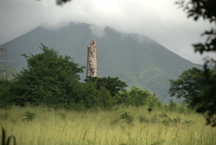
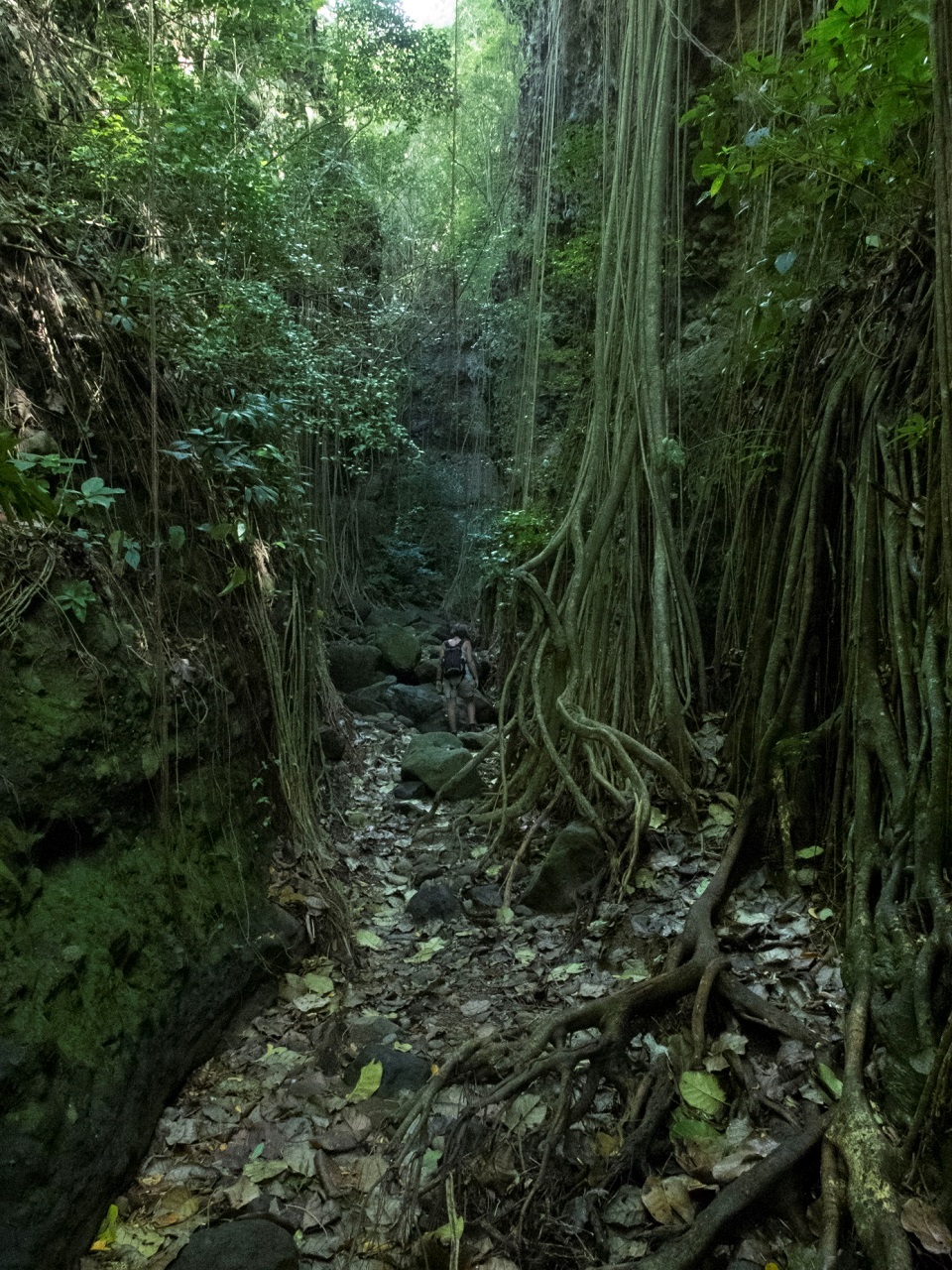
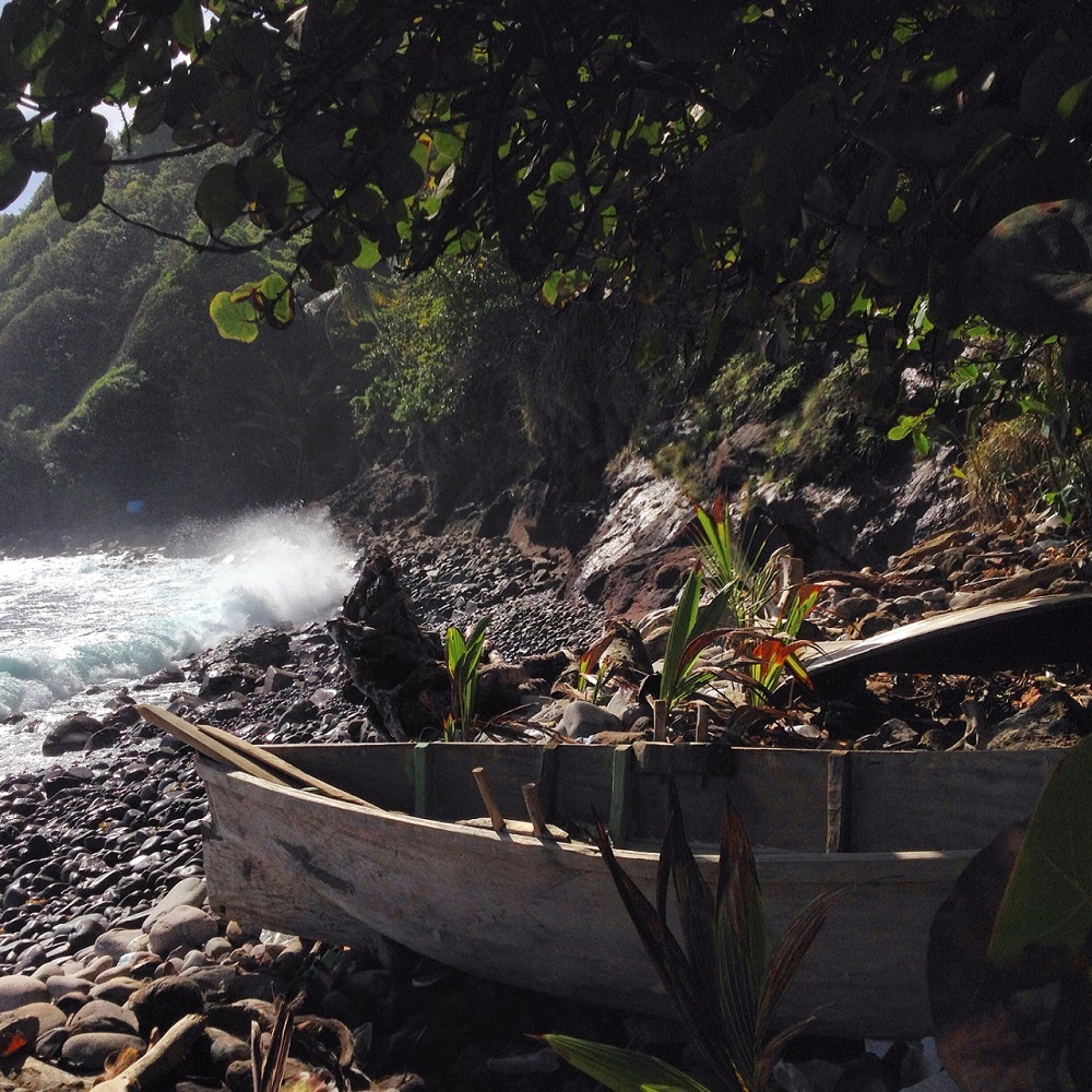
This research focuses on land use and landscape change in the two islands of St. Kitts and Dominica in the Caribbean. The aim is to assess the changes taking place, both man-made and natural, and to analyse the subsequent effects of those changes on community wellbeing. Landscape change has affected not only the natural ecology, but also the customary practices and traditions that play an integral part of the fabric of communities, their social practices, access to amenities, their communal heritage; in sum, their perceived well-being.
To illustrate the interactions between community and ecology in rural island areas, the analysis has focused on land use, land cover change, land and water management and community perspectives. Through the communities’ response to their changing environment, new outlooks are drawn on the consideration of the effects of landscape change on community wellbeing in socio-ecological resiliency. Furthermore, the comparisons will be drawn between the ways in which communities in the cases under study act and react to these changes. Finally, community knowledge will be integrated with mapping tools (GIS) to contribute to tailored planning policies for these areas.
Social relevance
Through multidisciplinary methods, such as crowd sourcing and GIS, this research engages with communities, seeking to understand the real impact of changing environments on community livelihoods, and thus, heritage. Regionally diverse, the Caribbean heritage or identity cannot be described by a simple and encompassing adjective. Thus, this research investigates heritage pertaining to local communities, seeking what they find as important representative of their identity. In many instances, heritage is tied to place and memory, such as places of community activity or livelihoods, making the continuation of that heritage dependent on sustainable resource practices.
Scientific relevance
While this research focuses on the heritage and communities of the specific Caribbean case studies, there are implications for the global community at large. Heritage, community and environment are key to understanding landscape use and maintaining sustainability, making this research useful for other places. Further, this holistic approach of merging cultural identities with landscape dynamics will eventually benefit society, natural and cultural resource management.
Why Leiden University?
Conducting research at Leiden University provides a global and multidisciplinary setting. The opportunities for exchange between colleagues of varied discipline and background create a rich environment for that fosters in depth research and growth. As a part of the Nexus1492 project, I have the unique opportunity to contextualize my research with knowledge of the Caribbean past and an outlook to the future with real tangible research outcomes.
Material & Methods
The methods used in this study comprise GIS, remote sensing and ethnographic methodologies of interviews, surveys and community collaboration. This included extended fieldwork trips, in which the researcher not only conducted interviews and surveys, but also became embedded in the local community and worked alongside community members in a specific project, with specific goals. These will be expanded upon in the case study chapters. What is worthy to note here is that the methods employed in this research have specific historical connotations in the Caribbean: it was early mapping tools that were used to appropriate lands in the region, while the current use of the modern mapping tools is contribute to community autonomy in land use and access to land. This is also why an ethnographic approach is a key element in this research. GIS and other imaging tools are essentially Cartesian in nature, and do not reflect the intuitive ways in which local communities interact with and view their local environment. In combing the two, this research places people at the centre of concerns over landscape change and degradation. In doing so, it adopts a holistic approach

Follow-up
Disseminating results to local communities is key to the sustainability of the project and imperative to the transfer of knowledge. Through the help of local partners and contacts, the findings of this research will be circulated within the communities where the research was done. Data and any deliverables will be shared with local partners to continue research.
Relations with other projects
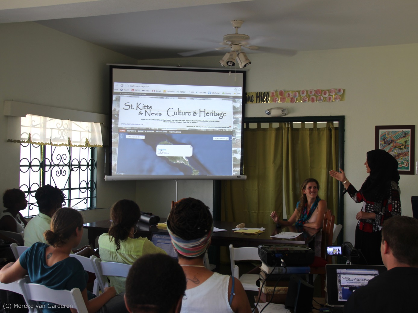
Culturesnaps.kn, an online tool to collect, educate, visualize, and analyze information pertaining to the tangible and intangible cultural heritage. Based on an open source platform, this tool can be accessed through web and mobile platforms. Visually pleasing and user friendly, the site displays geographical information pertaining to the crowd informed site of cultural importance. A user can seek, as well as, disseminate information and personal views regarding different heritage sites, foods, and festivals. To contribute information to the tool, users can submit online forms, email, or tweet information that will then be collected in a database that is managed by an administrator. This tool is sustainable, interactive and engaging, providing a link between researchers and communities.