
Socio-Ecological Resiliency in the Kalinago Territory: A GIS and Mapping approach
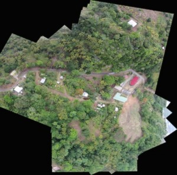
The Ministry of Kalinago Affairs, in partnership with Dilianie Darroux and Eloise Stancioff of NEXUS 1492, hosted a presentation on landscape change, social-ecological resiliency and community mapping of the Kalinago Territory in Dominica. This event presented findings of collaborative research and activities that had occurred in the Territory throughout January and February. Held at the Ministry offices in Rousseau, the event provided background information, project results as well as possible ways forward. Through the combined efforts of local partners, the results included development of a GIS database of Kalinago Territory, land hazard mapping for both soil erosion and run off potential into water resources.
Land Management Basics
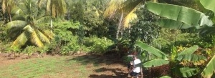
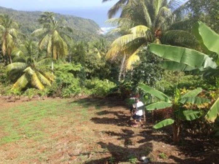
Land management is an extremely important part of creating sustainable communities. Changes in land use reveal environmental and social changes. These changes can often be linked to societal and environmental processes, affecting economic activity, homeland security, natural resource management and cultural values. As Dominica is a small island, even more attention is needed to manage land and water resources as development and population growth continue. Further, with the decline of banana exportation in the Kalinago Territory in the early 2000s, there had been a stagnation of agriculture in the Kalinago Territory. At present, people are returning to cultivation, an important component to encourage food security, retain local ecological knowledge and create economic opportunities within the territory. With the push towards agriculture, land management is a way forward to better protect water resources and ecological processes.
Mapping
Before the start of the project, there was very little data about the Kalinago Territory available. This meant that governmental ministries knew little about what resources are in the territory. Further, the Chief and Council of the Kalinago Territory had no information about infrastructure or important community places. To bridge this gap, community mapping activities were organised and lead by Kimani John, Danne Augiste and Eloise Stancioff to encourage willing participants to collect information and GPS coordinates on roads, rivers, important sites, and hamlet boundaries. This was compiled in a complete GIS database for the Kalinago Territory. This makes the information usable and adaptable for planning in the Territory.
Land Erosion in Salybia
Salybia is the historic center of the Kalinago Territory, with the community’s school, church and important fishing grounds. It was once a village of bustling activity as fisherman launched their canoes there in the bay and cricket was common on the upper field. In the early 2o00s, landslides led to the removal of all public buildings, like the health center, police station and school, leading to the end of community involvement and engagement in Salybia (Mullaney 2009, Dominica News Online 2015). Last year, the community of Salybia decided to take matters into their own hands with the establishment of the NGO, Salybia Heritage and Restoration Project (SHARP). SHARP, founded by Cozier Fredrick, set out to create a more vibrant community by focusing on the rich natural and cultural heritage of Salybia. To ensure lasting solutions in the community, SHARP and Eloise worked together on a variety of GIS and ethnographic projects that culminated in the creation of a Salybia land use plan for future development. In this was the development of a land erosion model for the community Salybia and the neighbouring hamlet of St. Cyr. All of the data collected and created in this collaboration is stored in the Kalinago Council’s office.
Water Resources
Rivers and streams are an important part of Kalinago heritage and culture. Bathing in the streams and having cook outs down by the river edge are all common weekend activities that community members of the Kalinago Territory describe with great fondness. Unfortunately in recent years, water resources have been on the decline. After speaking to farmers as well as residents of the different hamlets in the Kalinago Territory, many believed the cause to be from increased deforestation along the ghuts of the water sources. As more people have started clearing land near rivers and streams for agriculture or development, this has led to runoff of soils, fertilisers and other materials into the watershed of the Kalinago Territory. With the information from community members, a runoff potential model was created to highlight areas in the territory that would be at more risk for increased runoff. Again, the model and the associated data are all held at the Kalinago Council.
Reflections
As community involvement was included from the beginning, the research in the Kalinago Territory was fruitful in providing relevant solutions to current issues in land use/land cover change in the Territory. Socio-ecological systems provide a methodological approach for connecting complex relationships of land, community and culture. By incorporating community values into land management, local knowledge can be integrated into land cover analysis. This makes solutions more customisable when addressing land change. Further, this incorporates intangible and tangible aspects of heritage directly into landscape analysis, promoting community wellbeing.
By Eloise Stancioff
References
Mullaney, E. G. 2009. “Carib Territory: Indigenous Access to Land in the Commonwealth of Dominica.” Journal of Latin American Geography 8: 71-96.
Online, D. N. 2015. “NGO to restore historical sites in Salybia, Dominica”.