
A DANS KDP grant for ‘Mapping historical Leiden’-phase 2
Second phase of mapping historical Leiden project made possible by DANS Kleine Data funding.
Leiden University and the University of Amsterdam, together with Heritage Leiden and Region, are developing a map application of historical Leiden. The first phase of the project Mapping historical Leiden began November 2015, thanks to NWO AlfaMeerwaarde funding. Roos van Oosten and Arie Van Steensel (University of Amsterdam) received a DANS Kleine Data Projecten (Small Data Projects) grant for phase 2, which will begin March 2016. After the completion of the two phases, the map application will enable systematic and sophisticated spatial analysis of historical and archaeological data.
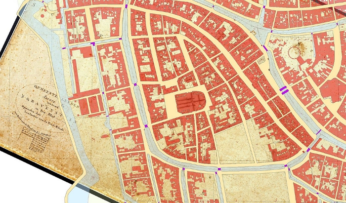
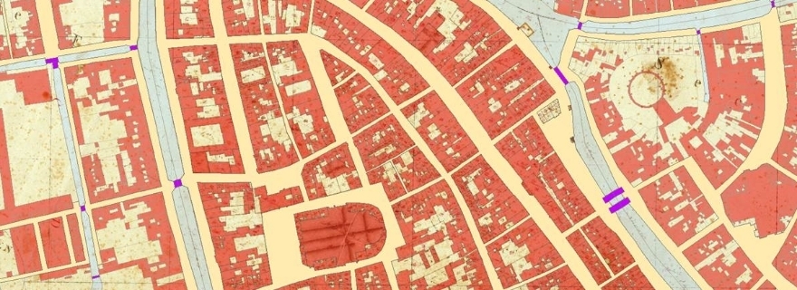
Cadastral map of Leiden, example of presentation through HISGIS.
Historical geocoder
The DANS grant will make possible the development of a full-fledged research tool using digital infrastructure. Linking historical tax records to specific locations is arduous, since house numbers were not used prior to the 19th century. We are fortunate that the Straat- en Grachtenboek (Book of Streets and Canals), a late 16th-century cadastral map avant la lettre, exists for the town of Leiden.
Complicating the matter, however, is the fact that town lots have been divided and amalgamated repeatedly since the 16th century. Specialized historical knowledge is needed to sort through the data, and the team is pleased to have available the expertise of independent researcher Jan Dröge. A historical geocoder will be used to ensure that geographical units and historical data will be linked correctly. The applied historical geocoder tool was developed as part of the Erfgoed & Locatie project (Heritage and Location).
Leiden’s cadastral maps of 1832
In addition, the DANS grant will contribute to the digitisation of the cadastral map of Leiden (1832), as part of the longstanding HISGIS project of the Fryske Akademy in Leeuwarden, coordinated by Prof. Hans Mol. The historical GIS project aims to digitise and vectorise all 1832 cadastral maps of the Netherlands.